| Population (As of Jan 1, 2026) |
Size (As of Jan 1, 2026) |
- ㆍPopulation: 299,899 People
(3.22% of the total population (9,299,548 people) of the City)
- ㆍHouseholds: 139,018 Households
(3.1% of the total households (4,501,031 households) in the City)
|
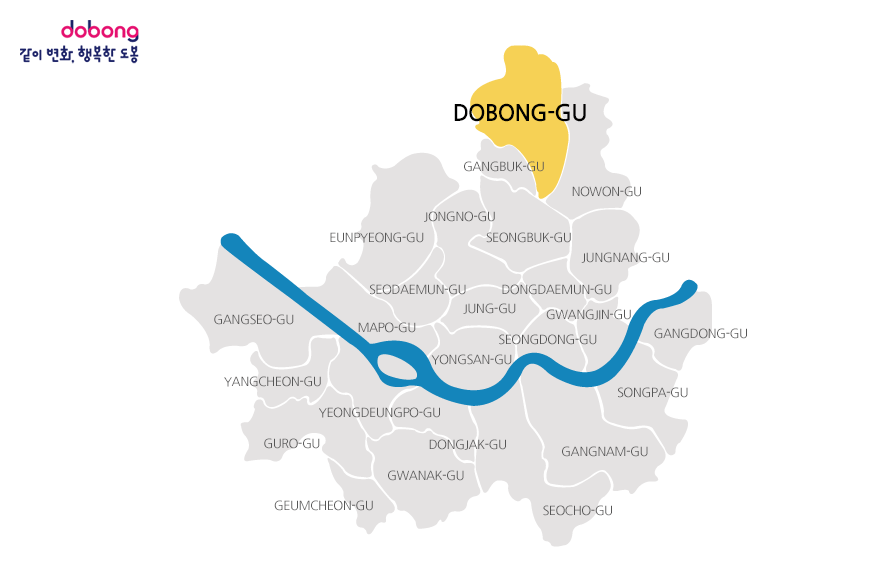
- ㆍTotal Area: 20.84 ㎢ (3.44% of Seoul)
- ㆍResidential Area: 8.72㎢ (41.8% of the Area of Dobong District)
- ㆍCommercial Area: 0.27㎢(1.3% of the Area of Dobong District)
- ㆍIndustrial Area: 1.47㎢(7.1% of the Area of Dobong District)
- ㆍGreen Space: 10.38㎢(49.8% of the Area of Dobong District)
|
| Residential Housing (As of Jan 1, 2026) |
Basic Facilities (As of Jan 1, 2026) |
- ㆍTotal: 147,832 Units
- ㆍApartments: 65,938 Units
- ㆍSingle-Family Homes: 9,792 Units
- ㆍMulti-Family Homes: 9,750 Units
- ㆍMuti-Unit Homes: 62,352 Units
|
- ㆍRoads: 257 ㎞ (Road Ratio 41.23% & Pavement Ratio 100%)
- ㆍSewerage System: 300 ㎞ (Coverage Rate 100%)
- ㆍBridges: 41 (Total Length: 1,432.3 m)
- ㆍRivers: 4 (Total Length: 18 km)
- ㆍStreetlights: 5,458 Lights
- ㆍSecurity Lights: 7,129 Lights
|
| Administrative Organization (As of Jan 1, 2026) |
Community Organization (As of Jan 1, 2026) |
- ㆍAdministrative organizations :
6 Bureaus,
1 Office,
1 Secretariat,
1 Commissioners,
36 Departments,
1 Project Promotion Team,
1 District Office,
3 Specialized Committees,
14 Neighborhoods,
204 Teams 1 Task Forces
|
- ㆍ398 Tong (urban village) & 3,013 Ban (hamlet)
|